Our village stands with hearts so kind,
Hospitable, strong, in spirit entwined.
Resilient souls, we rise and grow,
In every path, our progress shows.
Historical Perspective
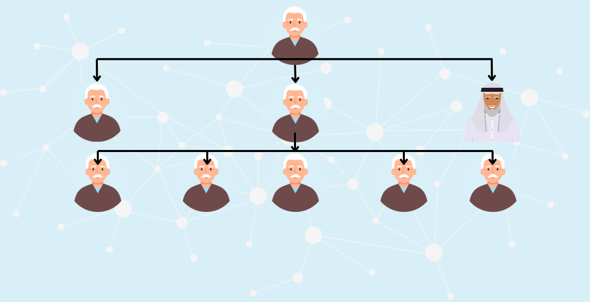
Village Malka Mauj stands as a testament to time, its roots stretching back to an era before the Partition. The village derives its present name from Mauj, the second son of its esteemed forebear. A legacy of family bonds weaves through the area, as Mauj’s elder brother, Haji, has a neighboring village to the south named in his honor: Malka Haji. This name carries a unique place in the local geography, firmly positioning Malka Mauj within a network of cultural landmarks and heritage. Among its inhabitants, the village is also affectionately known as Abbal Ka Thatha, a name that evokes the spirit of the ancestors and their enduring influence. The oral histories and timeless customs of Malka Mauj continue to shape its identity, cherished by each generation
Our Geography
Our village, Malka Mauj, rests gracefully between the flowing River Ravi and the Syed Wala Bucheki Road. The Ravi lies to the south, just 2 kilometers away, while the Syed Wala Road runs along the northern edge, adjacent to an ancient canal that winds past our village. To the east, New Farid Abad and the Pull Pipplan Wali Bridge connect Syed Wala Bucheki Road with New Farid Abad, creating vital pathways. The storied town of Syed Wala, rich with history, lies to the west, a mere 3 kilometers away. Northward, across the road and canal, the neighboring hamlets of Chah Ghirabn Wala and Chah Talgera meet the village’s northern bounds. The GPS coordinates of Malka Mauj are 31°08’20″N 73°31’30″E, at an elevation of 190 meters.
Our Geopolitical Location
Village Malka Mauj is located within one of two general constituencies of District Nankana Sahib for the National Assembly: Constituency NA-118 QH Syedwala, and one of four provincial constituencies: Provincial Constituency PP-134. Under Pakistan’s current government system, our village falls within the boundaries of District Nankana Sahib and Tehsil City Nankana Sahib. According to the Local Government system, Village Malka Mauj is part of Union Council Malka Haji Mauj (UC-62).
It is under the jurisdiction of Police Station Syedwala, a historically significant station that began law enforcement in the area in 1921 under the British colonial police system. During British rule, Sahiwal was the division, and Gogera Bangla served as the tehsil headquarters

A Tribute to His Excellency
Master Bashir AHmad Rahmani
“Your guidance has shaped countless lives, inspiring us with wisdom, patience, and dedication. As you step into this new chapter, your legacy of knowledge and kindness continues to echo in every lesson taught. May your retirement be filled with the joy and peace you so richly deserve, and may you be blessed with good health and happiness always.”

Union Council Office
The office of Union Council is located in a village chak 17/70. Although it Office should had been in Village Malka Mauj, But due unavailability of govt building in this village, it had been established in Chak No. 17/69 since being declared its geographical area.
Having the Union Council office in our village is more than just a convenience; it’s a symbol of progress and unity for our community. This office represents our voices, our needs, and our shared dreams for a brighter future. It’s a place where our concerns are heard, where every visit strengthens the bond among us. We are proud to have this beacon of service and development close to home, standing as a testament to our village’s growth and importance